

Tracking changes in the abundance of Arctic species has historically been tedious and exacting work. Now modern technology is being put to use to facilitate this important task.
By: Andy Lowther, Kit M Kovacs and Christian Lydersen // Norwegian Polar Institute
Rolf A Ims // UiT The Arctic University of Norway
Marc Rams i Rios // Marine Mammal Institute, Oregon State University, USA
Alberto Roldan Sastre // University of Akureyri, Iceland
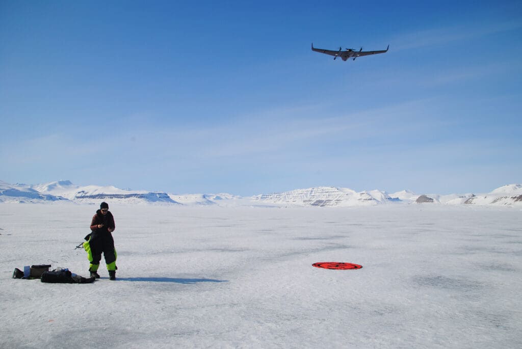
Monitoring Arctic sentinel species, such as marine mammals, typically involves regular assessments of population size, which are often conducted by counting individuals from images collected during aircraft surveys. In Svalbard, the most recent aerial survey of ringed seals was conducted almost two decades ago using a fixed wing (piloted) aircraft to collect photographic imagery across 18 fjords throughout the archipelago. This survey generated over 20,000 images, all of which had to be processed manually. Collecting and analysing aerial imagery requires significant manpower (and hence financing) to process large volumes of raw images into data, extracting the needed information on a timescale useful for management purposes.
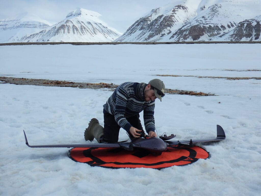
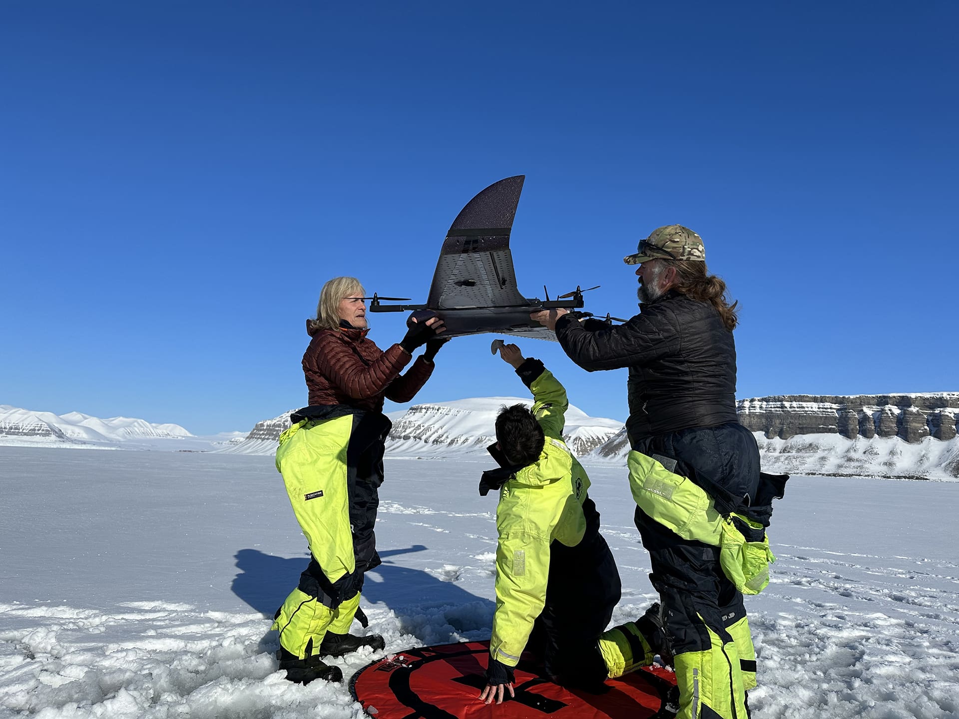
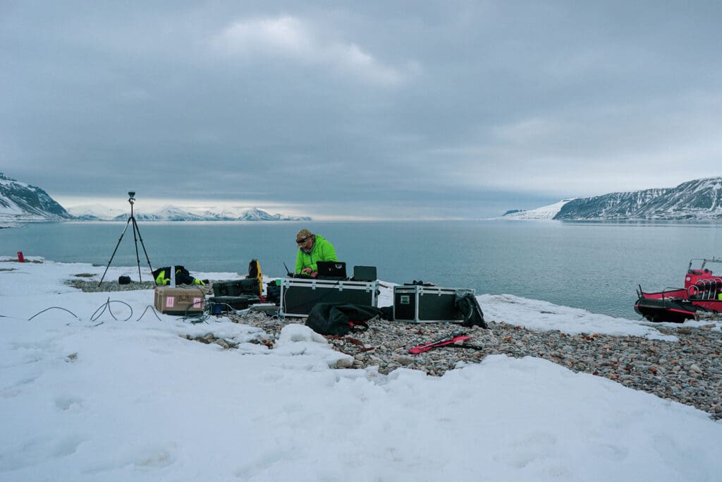
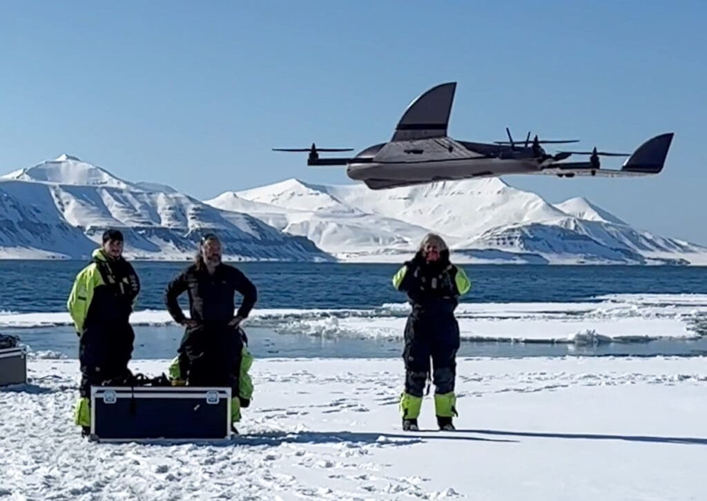
The pressing need for rapid analysis of large imagery datasets has driven recent advances in the use of Computer Vision (CV) models. One-stage or optimised CV models have emerged as powerful tools for reducing the workload associated with processing aerial imagery in animal surveying. Over the past five years, the Norwegian Polar Institute has been developing the techniques, methodologies and field competence to survey marine mammals using drones. Between 2023 and 2025, full-scale surveys of ringed seals hauled out on all ice-covered areas in Isfjorden (2023, 2024, 2025), Van Mijenfjorden (2024, 2025) and Kongsfjorden (2024) were conducted, resulting in the first updated abundance estimate in twenty years (see Further reading). Over 32,000 aerial images were collected and used to train and validate a state-of-the-art optimised CV model to streamline image processing.
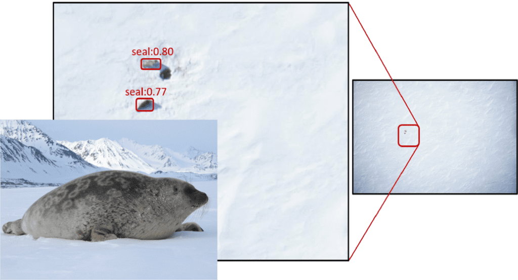
We used a single-stage CV model called YOLO8, trained on a large subset (70%) of the manually annotated survey imagery collected in Isfjorden. The remaining images from the Isfjorden surveys were used to evaluate and adjust the model in order to determine whether it is generalising well or merely memorising the training data. After refining the training process over several iterations, we finally tested the model on a test set consisting of the Van Mijenfjorden survey imagery.
The final model detected 96% of the seals in the Van Mijenfjorden test dataset and reduced the human workload for post-processing image analyses by 99.7%.
From an ecological perspective, the combined ringed seal survey studies that we have undertaken in the last three years show a significant decline (circa 50%) in ringed seal abundance over the last two decades in Kongsfjorden, Van Mijenfjorden and Isfjorden. The interannual variability in abundance observed across fjords during this study underscores the importance of monitoring over several years to determine reasonable abundance estimates and understand variance. Given the analysis pipeline established, expanding this approach to estimating harbour seal and walrus abundance in Svalbard is tractable. The model developed in the ringed seals studies will be retrained on appropriate annotated species-specific aerial imagery. Overall, our research demonstrates an efficient, cost-effective pipeline for obtaining rapid and reliable abundance data for seals in future monitoring surveys and offers insights into the ringed seal’s status and distribution in western Svalbard.
Further reading
Rios MRI, Kovacs KM, Lydersen C, Ims RA, Lowther A (2025) Ringed Seal (Pusa hispida) Abundance in Isfjorden, Svalbard, After 20‐Years of Climate Change and a Concomitant Survey Hiatus. Marine Mammal Science 42(1): e70076,
Sastre A (2025) The Fjords of the Ringed Seal: Assessing the Status of Ringed Seals in Western Svalbard through Machine Learning. Thesis for Masters degree, University of Akureyri, Iceland.